The objective of this research is to evaluate the potential of remote sensing data for the modelling of mushroom yields in forests at large spatial scales. Specifically, we want to see if combining remote sensor-based data could represent more accuracy to the current models which are based on climate observations. Showing the potential of remote sensing to model mushroom yields is a first step for the future development of small-scale predictive models.
The high uncertainty in the production of wild mushrooms hinders the development of economic activities related to the resource, such as a stable tourist offer. In Mediterranean environments, the annual variability in terms of total production during growing season is extreme.
Remote sensing data has been represented a novelty in the forest management sector, providing technologies capable of monitoring the evolution of wood at multiple spatial and temporal scales. LiDAR techniques have a great capacity to assess the diversity and production of wild mushrooms, but the potential of active and passive remote sensing remains largely untapped.
The primary production of the previous years was the best individual predictor of wild mushroom yields. Remote sensing data improves on climate data models. Moreover, the combination of remote sensing and climate data doubled the explaining power of the models. The production of mushrooms is a two-step process: the mycelium produced more wild mushrooms in wet and mild autumns one year after a high primary production. This publication shows that the combination of different remote sensing sources improves the yield patterns of mushrooms on an annual scale.
Soil moisture is one of the most influential parameters in both primary vegetation and mycological production. To quantify this variable, satellite-mounted radiometric sensors solve the accuracy problems of climate data that depend on the distribution of terrestrial weather networks. One of the biggest problems solved by increasing the accuracy of these sensors is the detection of small-scale phenomena such as convective storms, which are critical to wild mushroom production. Due to the wide electromagnetic spectrum, the sensors used in satellite remote sensing can be optical or microwave, the latter being the most suitable for soil moisture measurements.
Ground measurements produced by satellites, such as the European Space Agency's SMAP or Soil Moisture and Ocean Salinity (SMOS), provide timely information on water availability and environmental performance of wild mushroom production. The microwave sensors are capable of penetrate up to 5 cm below the ground allowing the continuous monitoring regardless of weather conditions. However, these satellite measurements do not determine the humidity directly. They require a monitoring by means of direct tools among which we find the measurements in the field (in site), to relate them.
The development of reliable predictive models for wild mushroom production is essential for the expansion of this economic sector. Modeling the factors that determine these productions has become a growing area of research. The availability of more high quality long-term data sets is enabling better modeling. The increase in the number of data series of mycological production will allow to include in the models the forest structure and the rates of mass growth, trying to relate mushrooms yields with the series of secondary growth of the forest mass.
José Miguel Altelarrea Martínez, josemiguel.altelarrea@cesefor.com, www.cesefor.com
Further information
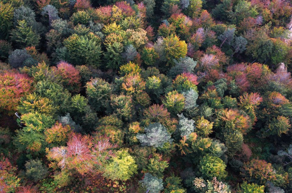
Forest stand (Source: Cesefor).

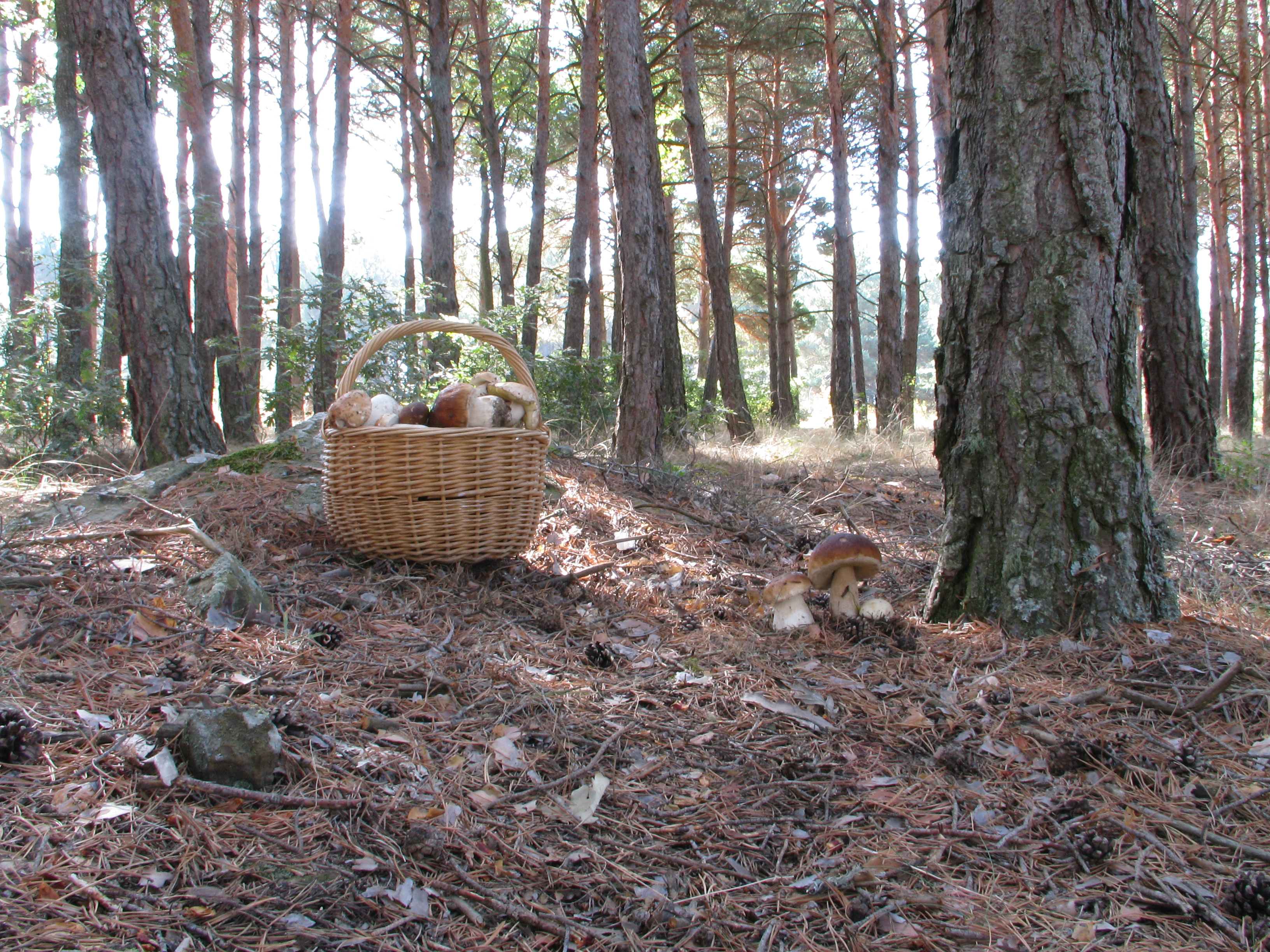
Boletus edulis harvest. (Source: Cesefor).
