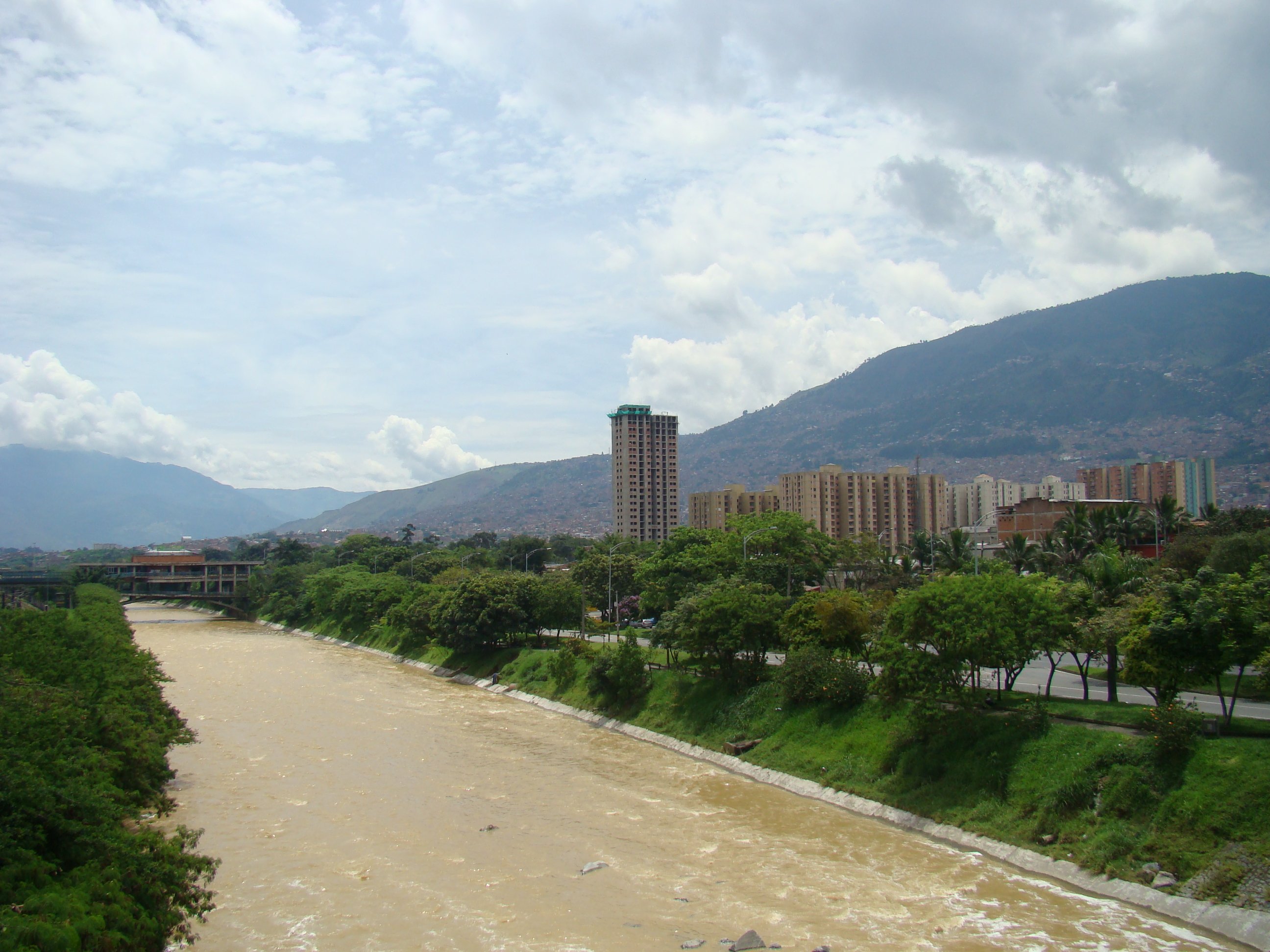
The river Medellín constitutes the north-south structuring axis of the city, which divides the city in two parts. Historically, the banks of the river included major national roads, which not only divide the city physically and socially, but also biologically. The flagship strategy Parques del Rio Medellín aims to integrate engineering and urban planning, to re-structure the city´s urban, environmental and social fabric promoting sustainable urban development, and at the same time recovering the water resources of the Aburra Valley.
A first phase of the strategy (2012-2015) was executed in the western sector of Medellín, between the river and the Conquistadores neighbourhood. This was the first stage of the most ambitious urban mega-project for the city, with an estimated 15-year completion time. The connectivity that will be generated between the two sides of the river will be created by means of bridges. The road layout that previously bordered the river will be re-directed underground, allowing the park to be at water level. The project is an integral part of the city's Land Management Plan (2006), which is materialised through strategic intervention of urban areas involving different sectors of the city in order to realise the visions of the future city. In total, the strategy of Parques del Río Medellín includes six different sections, of which only parts have been implemented so far.
